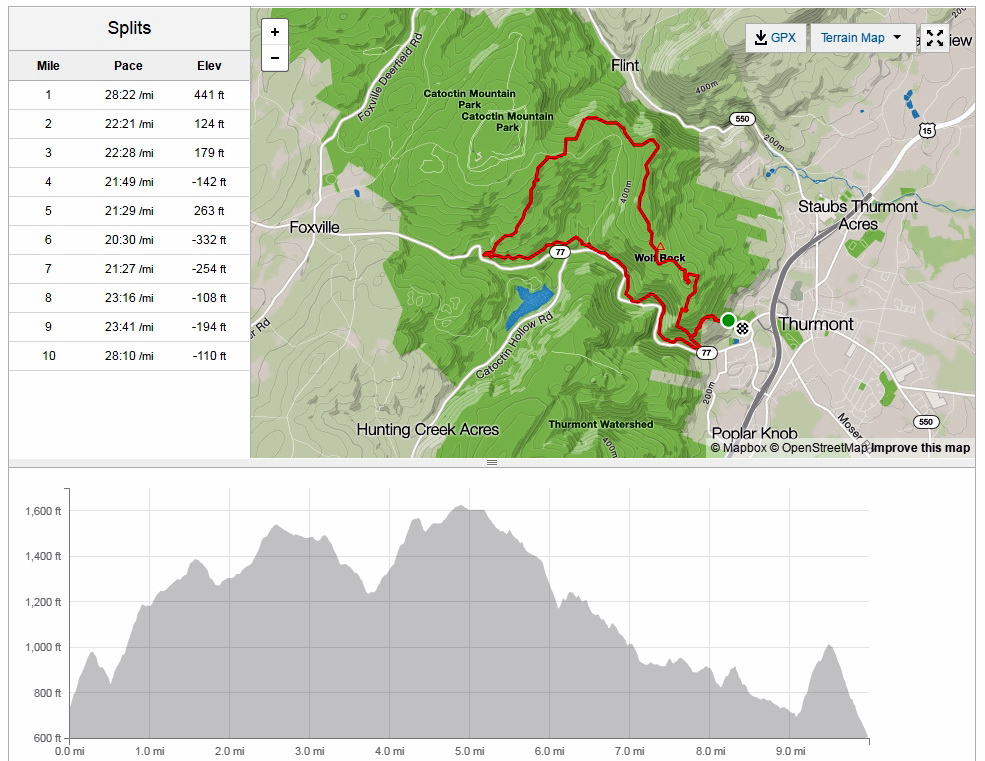
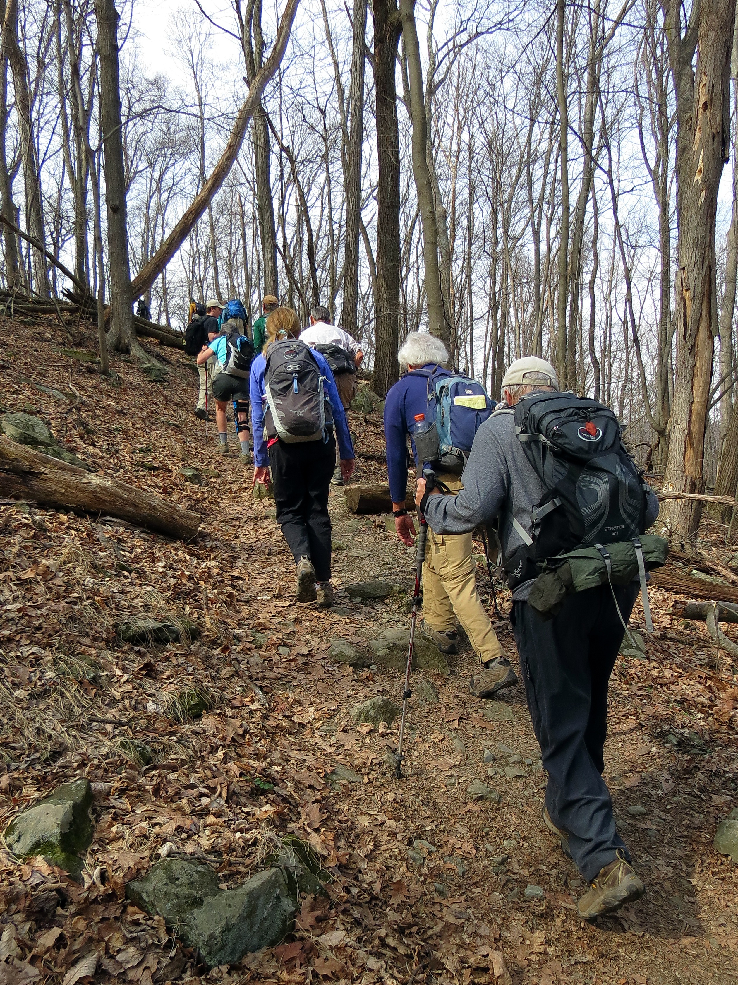
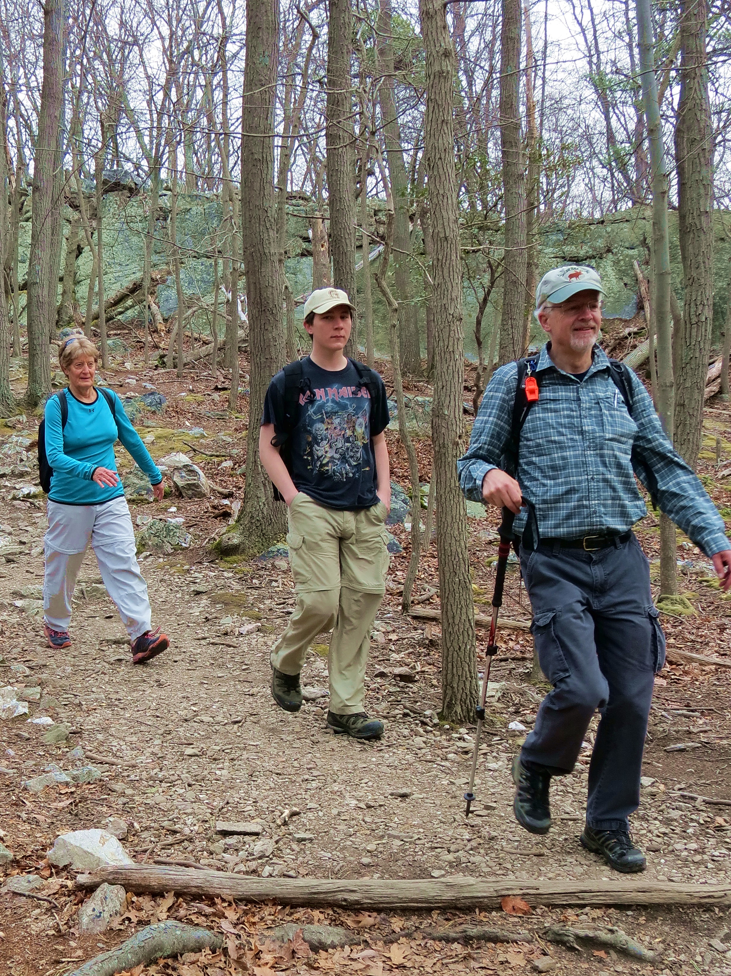
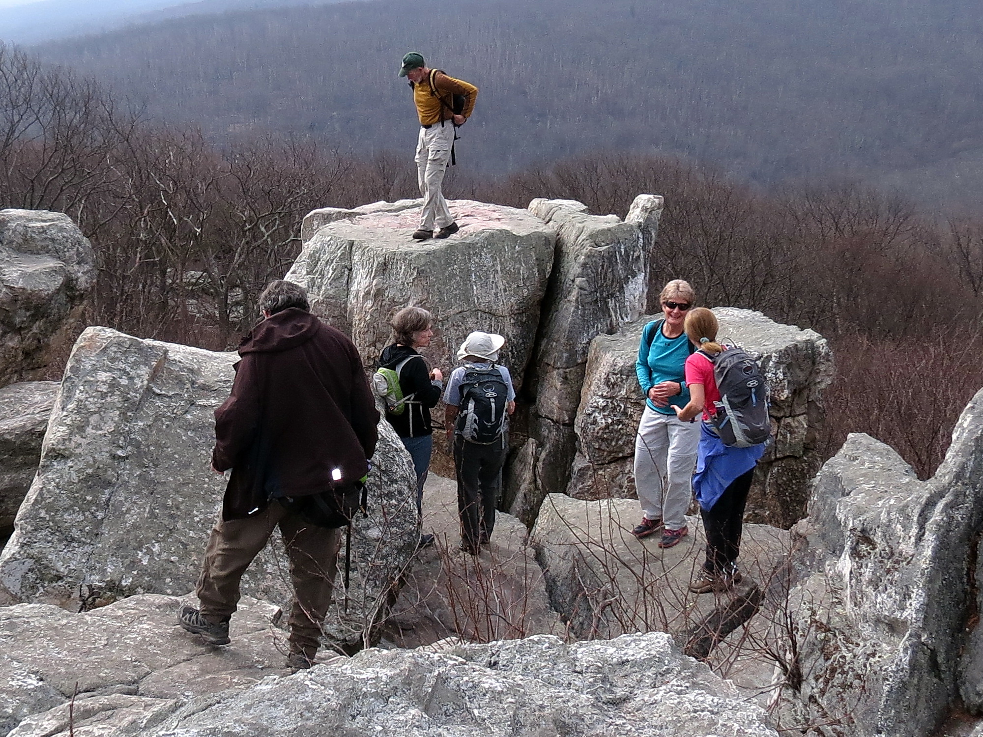
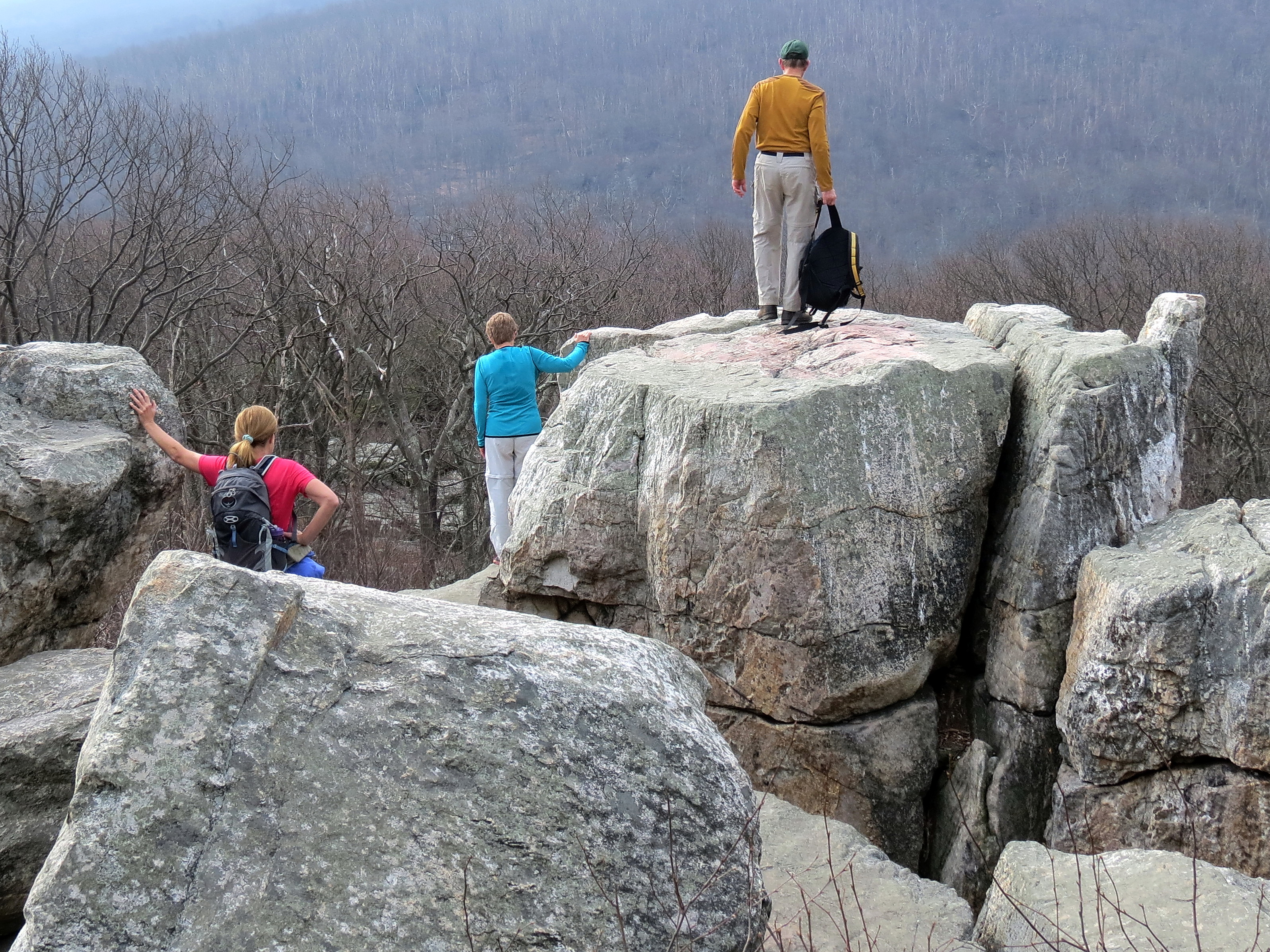
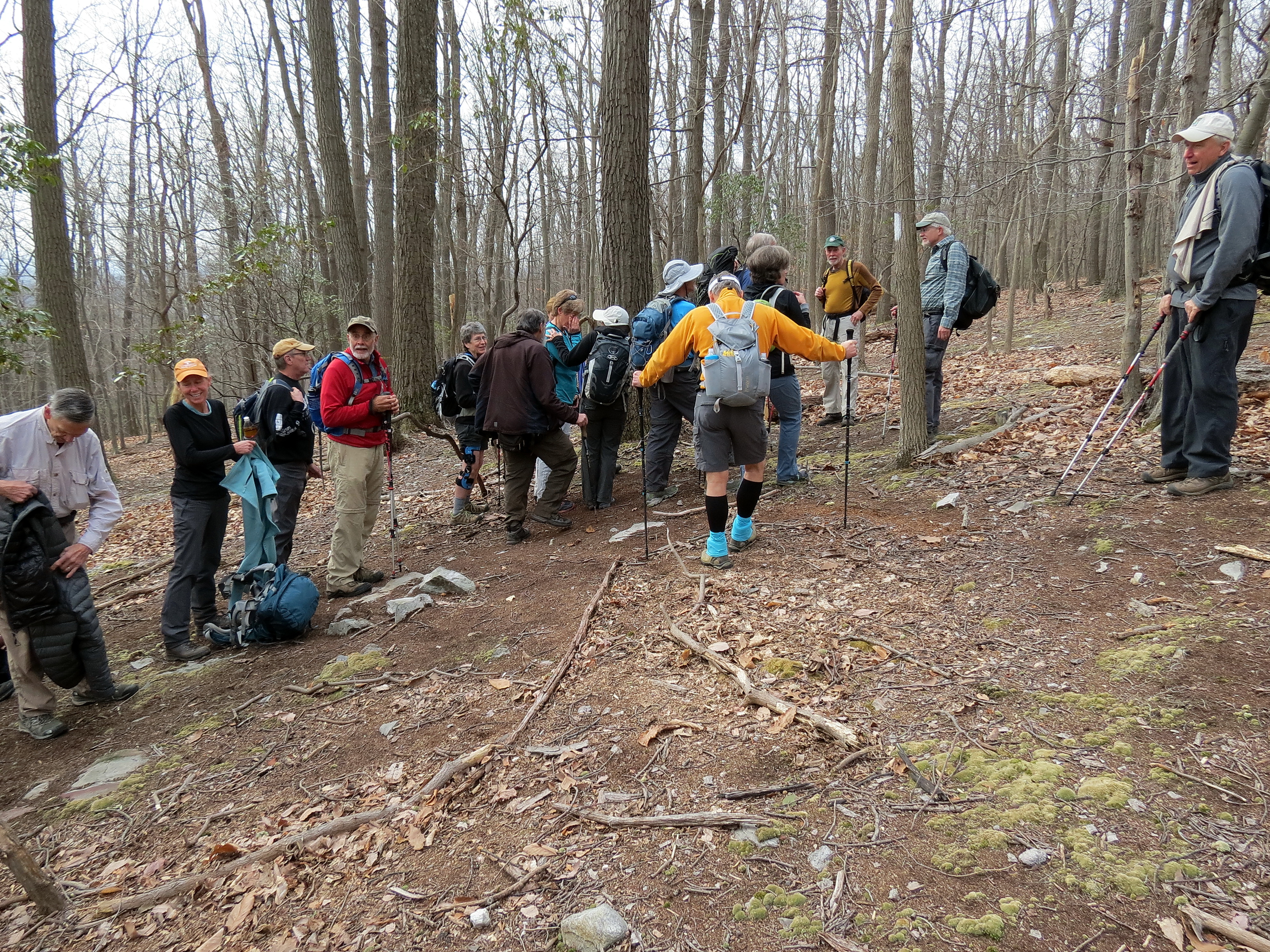
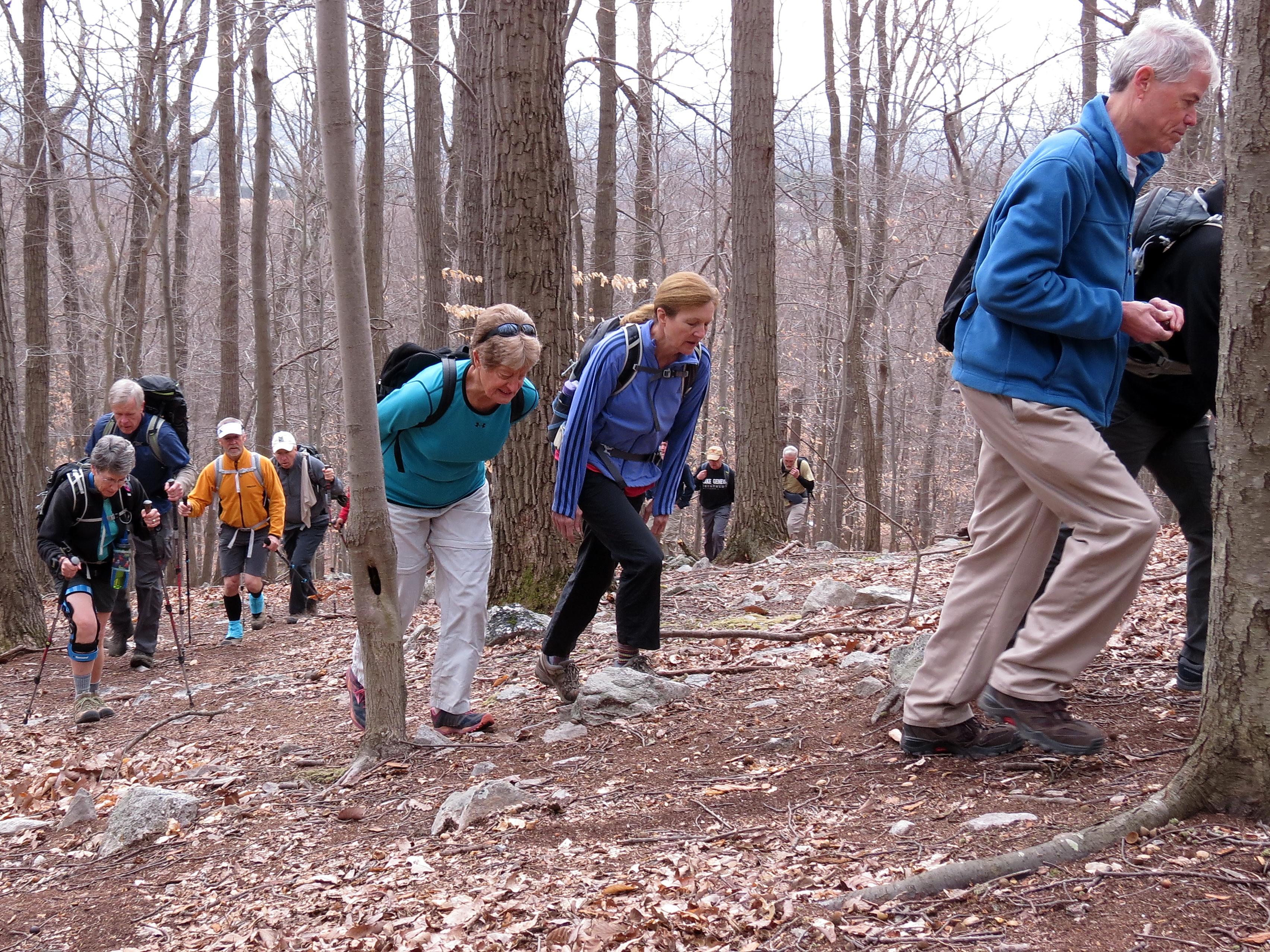
Under Bill Saunders’s leadership, 25 hikers set off from a makeshift parking lot in the elbow of MD-77 and US-15. It started with a steep climb that seemed to go on forever. Bill’s original plan was for 3,000 feet of elevation in 10 miles. My GPS measured 2,000 feet, but my legs agreed with Bill’s 3,000 foot estimate. There was a quick stop at Chimney Rock and the park’s visitor’s center, and lunch was at Hog Rock. The weather was overcast but unseasonably warm for February, maxing out at 70-or-so degrees. Marcie’s hiking poles had been left behind at one of the “separation” points, and she and Jim Koury did an extra 2 “bonus miles” and many hundreds of feet of elevation by going back for them, and moving like the wind to catch the group just before the end.
See below for a few pictures. (Click on each picture to see it in full size.). Also see here for a few more pictures.