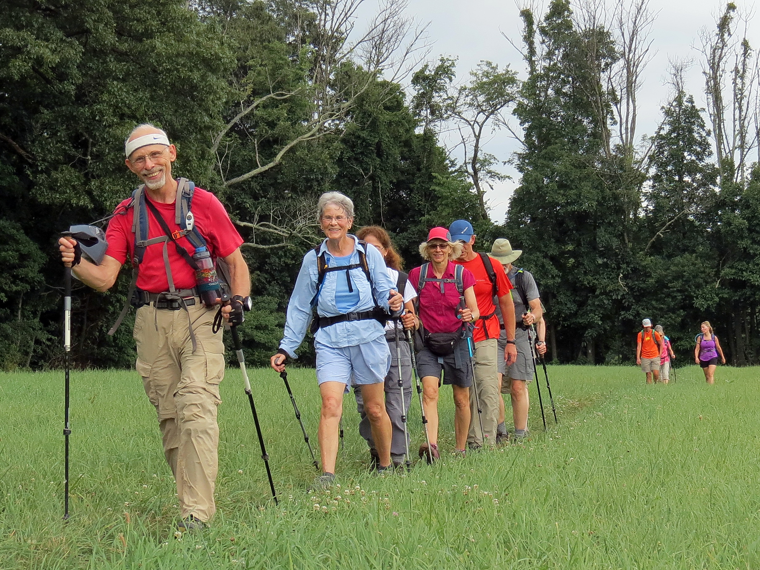
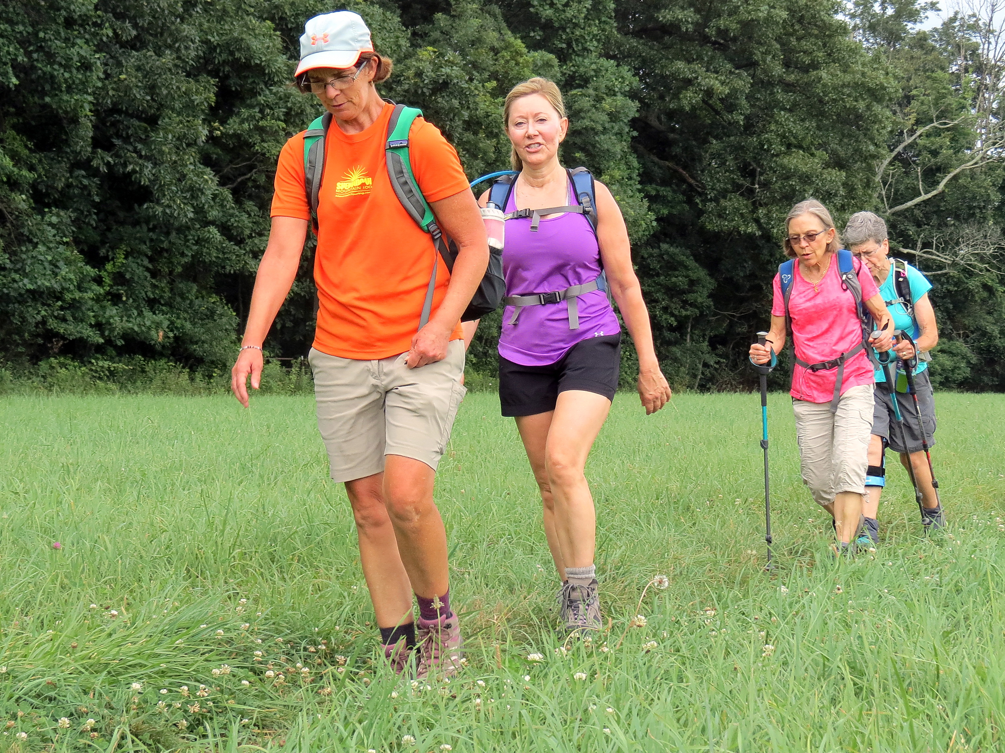
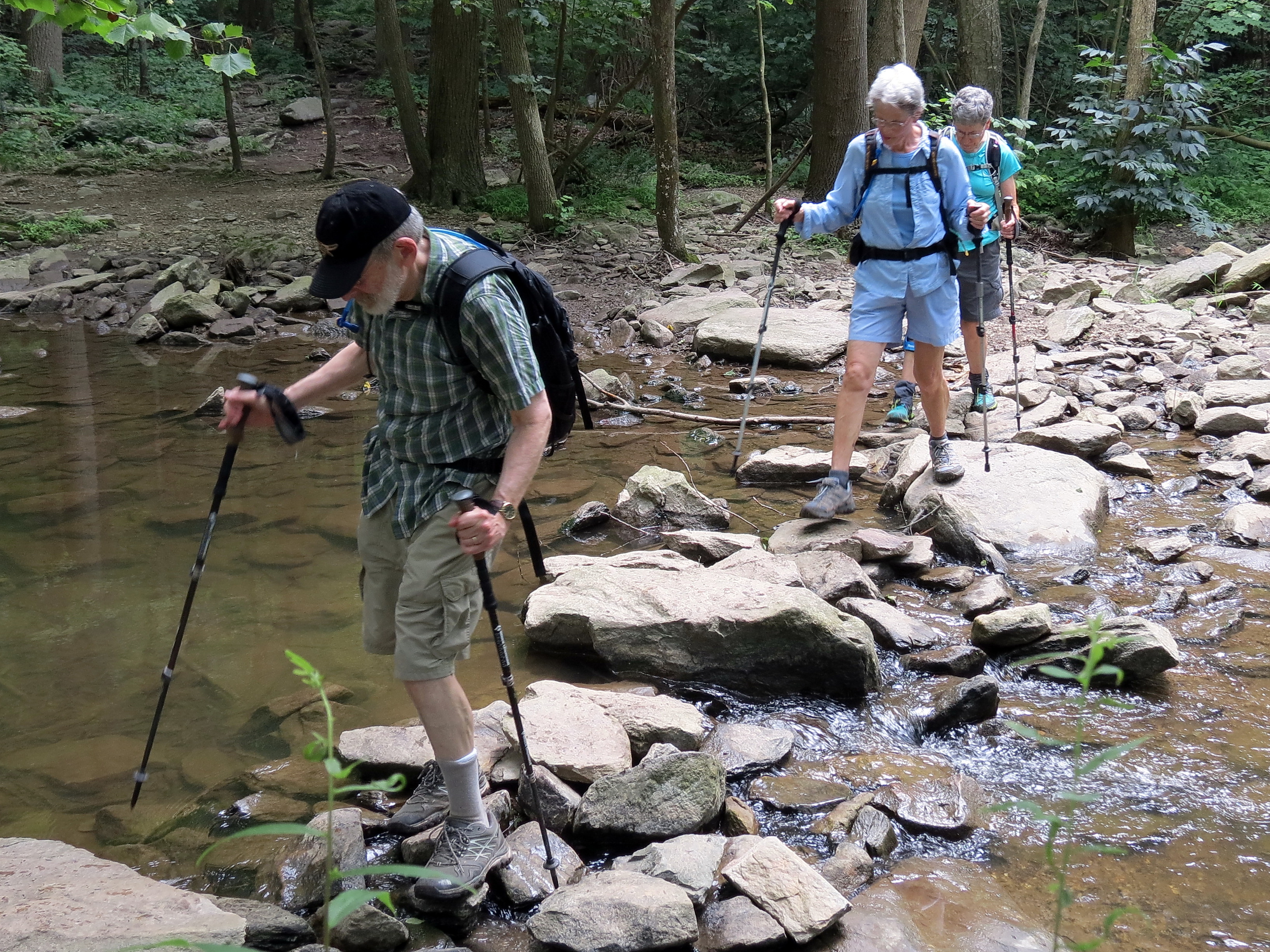
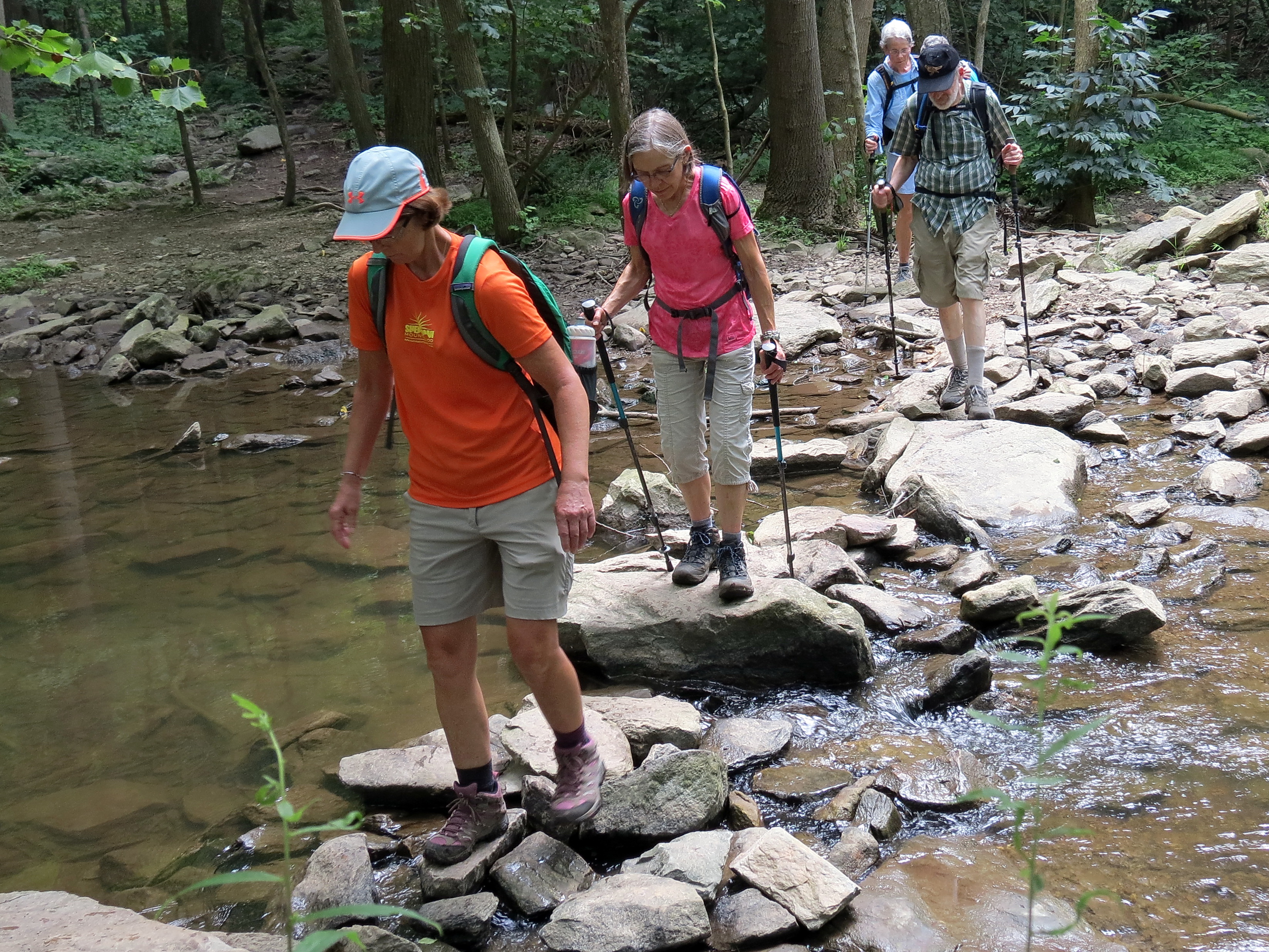
It wasn’t too hot, but the humidity was pretty intense when 12 Mountain Club hikers met near the Devil’s Racecourse for an out-and-back Jim Koury “10H” hike.
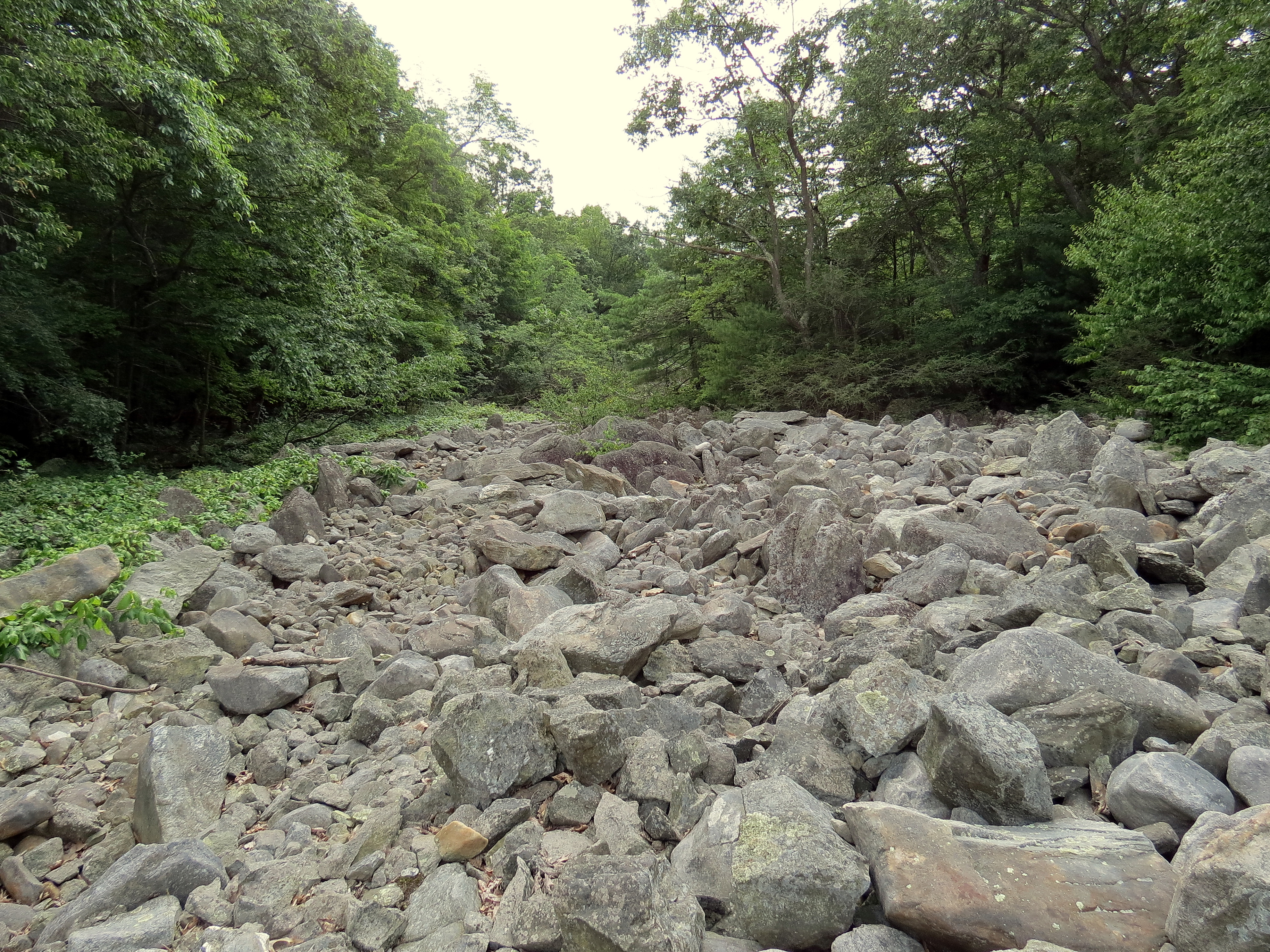
See below for a picture of the Devil’s Racecourse. It’s a barren half-mile long river of weverton quartzite boulders, sometimes described as an “upside down river” because a the Little Antietam Creek burbles unseen beneath the rocks. Hence the name: It seemed to early settlers that “devils”, or unseen spirits, were whispering to each other under the rocks.
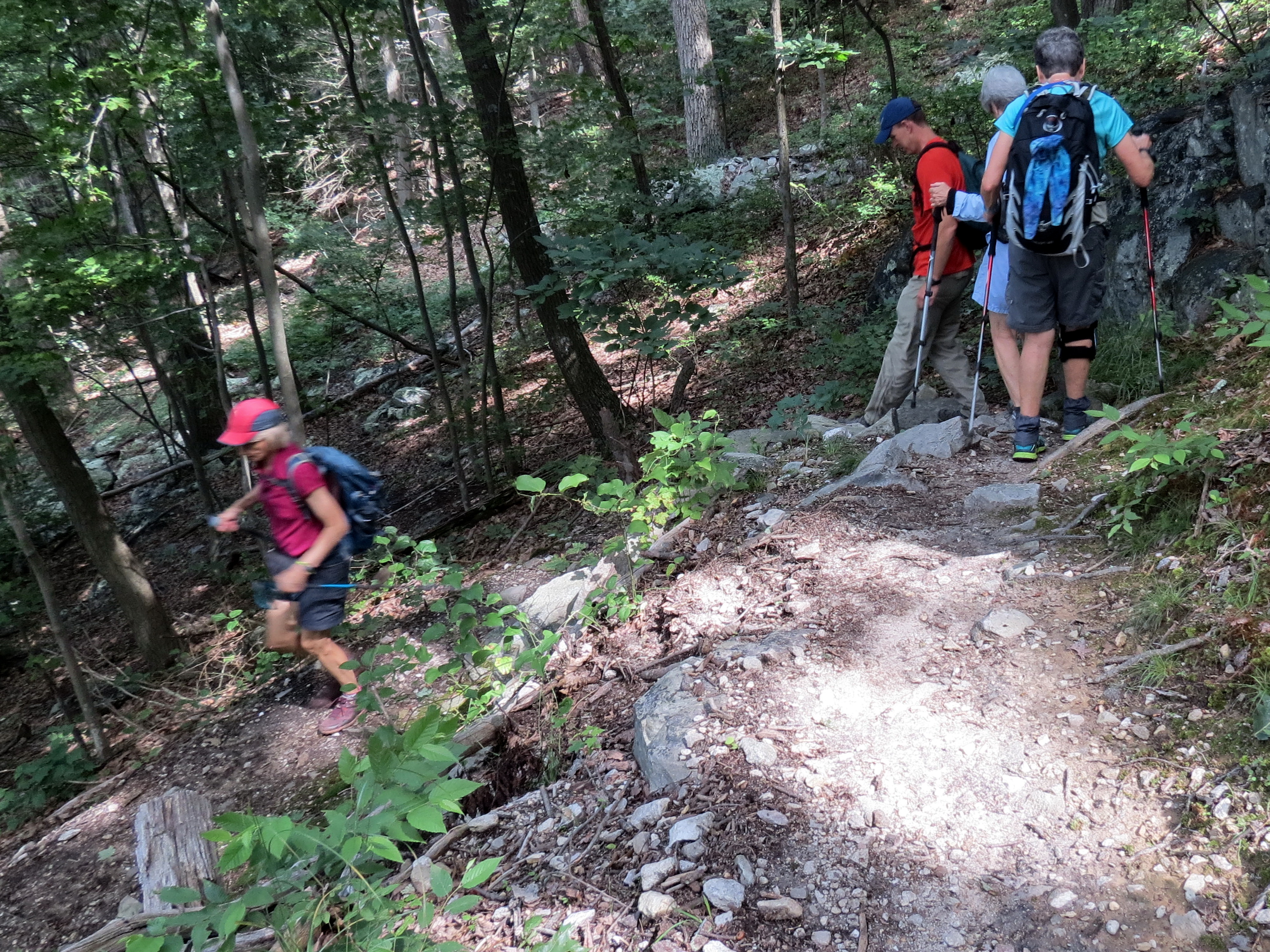
Half a mile later we hit the Appalachian Trail and went south for about 5 hilly miles to the Cowal shelter where we lunched and exchanged pleasantries with a trio of through-hikers.
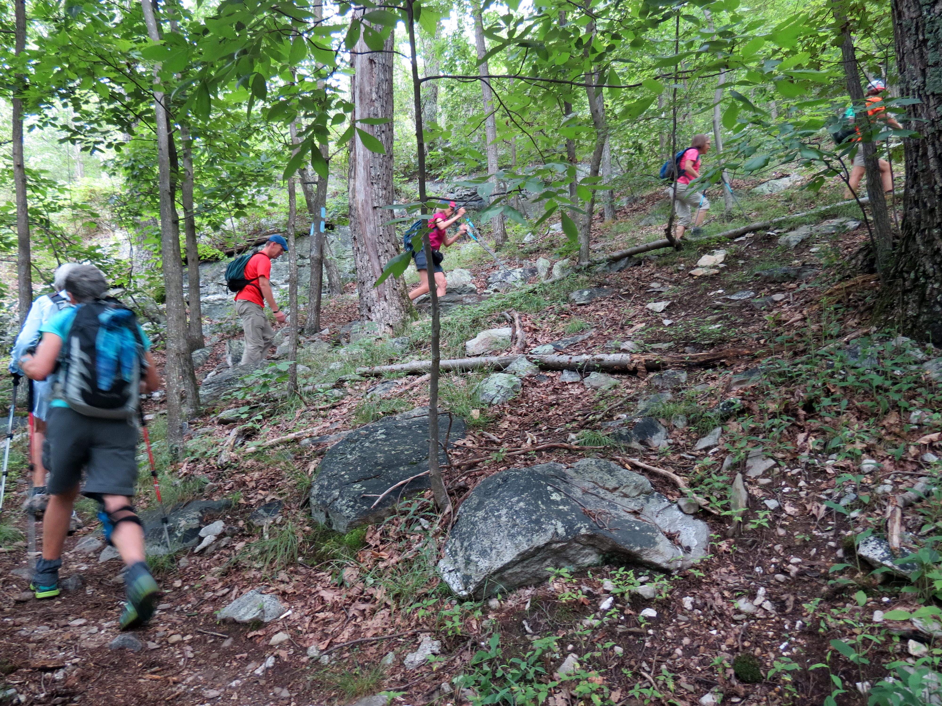
On the way back, after crossing MD-491 (Raven Rock Rd.), Jim picked up the pace and raced up the final climb – and after the 3/4-mile 597-feet uphill slog it was apparent that he’d lost none of his HAM fitness.
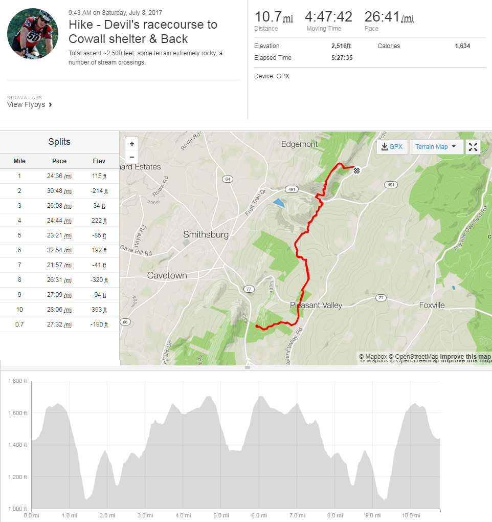
10-Miles and 2,000 feet seemed easy – but my GPS (see below) indicated 10.7 miles and 2,516 feet of elevation, and my sweat-soaked shirt indicated severe humidity. And although my old knees indicated not a 10-H, but an 11-S hike, it was still a great way to spend a Saturday.
The pictures can also be viewed here.